

During the Last Glacial Maximum, the mammoth steppe was the Earth’s most extensive biome. It spanned from Spain eastwards across Eurasia to Canada and from the arctic islands southwards to China.[2][3][4][5][6] It had a cold, dry climate,[7][6] the vegetation was dominated by palatable high-productivity grasses, herbs and willow shrubs,[3][6][8]and the animal biomass was dominated by the bison, horse, and the woolly mammoth.[7] This ecosystem covered wide areas of the northern part of the globe, thrived for approximately 100,000 years without major changes and then suddenly became all but extinct about 12,000 years ago.[7]
The last glacial period, commonly referred to as the ‘Ice Age’, spanned from 126,000 YBP–11,700 YBP[13] and was the most recent glacial period within the current ice age which occurred during the last years of the Pleistocene era.[14] It reached its peak during the last glacial maximum, when ice sheets commenced advancing from 33,000 years BP and reached their maximum positions 26,500 years BP. Deglaciation commenced in the Northern Hemisphere approximately 19,000 years BP, and in Antarctica approximately 14,500 years BP which is consistent with evidence that it was the primary source for an abrupt rise in the sea level at that time.[15]
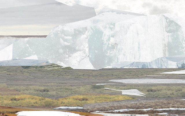
During the peak of the last glacial maximum, a vast mammoth steppe stretched from Spain across Eurasia and over the Bering land bridge into Alaska and the Yukon where it was stopped by the Wisconsin glaciation. This land bridge existed because more of the planet’s water was locked up in ice than now and therefore the sea levels were lower. When the sea levels began to rise this bridge was inundated around 11,000 years BP.[16]
During glacial periods, there is clear evidence for intense aridity due to water being held in glaciers and their associated effects on climate.[17][18][7] The mammoth steppe was like a huge ‘inner court’ that was surrounded on all sides by moisture-blocking features: massive continental glaciers, high mountains, and frozen seas. These kept rainfall low and created more days with clear skies than are seen today, which increased evaporation in the summer leading to aridity, and radiation of warmth from the ground into the black night sky in the winter leading to cold.[7] This is thought to have been caused by seven factors:
- The driving force for the core Asian steppe was an enormous and stable high-pressure system north of the Tibetan Plateau.
- Deflection of the larger portion of the Gulf Stream southward, past southern Spain onto the coast of Africa, reduced temperatures (hence moisture and cloud cover) that the North Atlantic Current brings to Western Europe.
- Growth of the Scandinavian ice sheet created a barrier to North Atlantic moisture.
- Likewise, the icing over of the North Atlantic sea surface with reduced flow of moisture from the east.
- The winter (January) storm track seems to have swept across Eurasia on this axis.
- Lowered sea levels exposed a large continental shelf to the north and east producing a vast northern plain which increased the size of the continent to the north.
- North American glaciers shielded interior Alaska and the Yukon Territory from moisture flow. These physical barriers to moisture flow created a vast arid basin or protected ‘inner court’ spanning parts of three continents.[7]
(From Wikipedia, June 2018)